iGUIDE is a property visualization and measurement platform: 3D tours, accurate floor plans, and spatial data for real estate and property management. I'm on the Data Acquisition team, which owns the PLANIX app that operators use to survey a building.
Native iOS
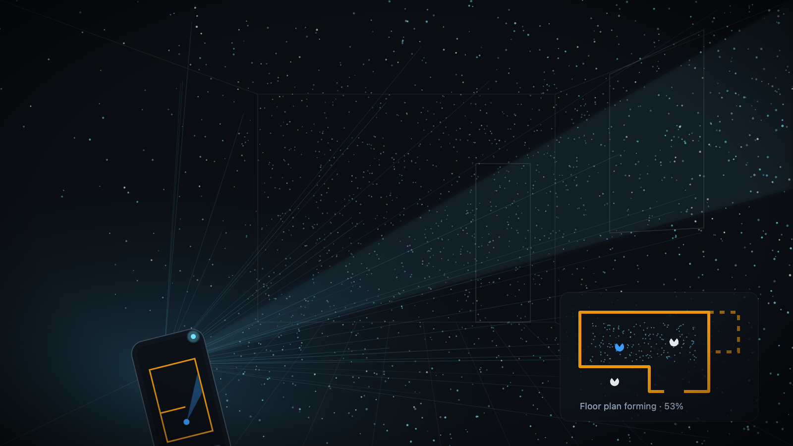
LiDAR capture on ARKit
I built native ARKit modules and integrated a proprietary spatial-measurement library. Depth from the phone's LiDAR feeds it, so the floor plan draws while you walk the room.
Survey
See where every scan looks
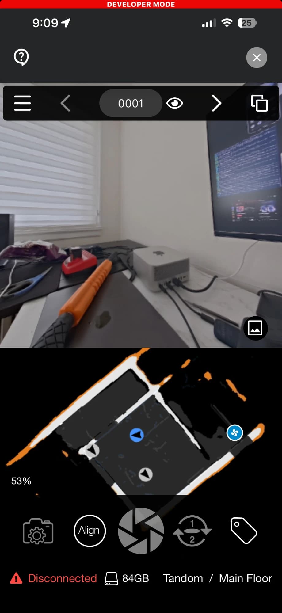
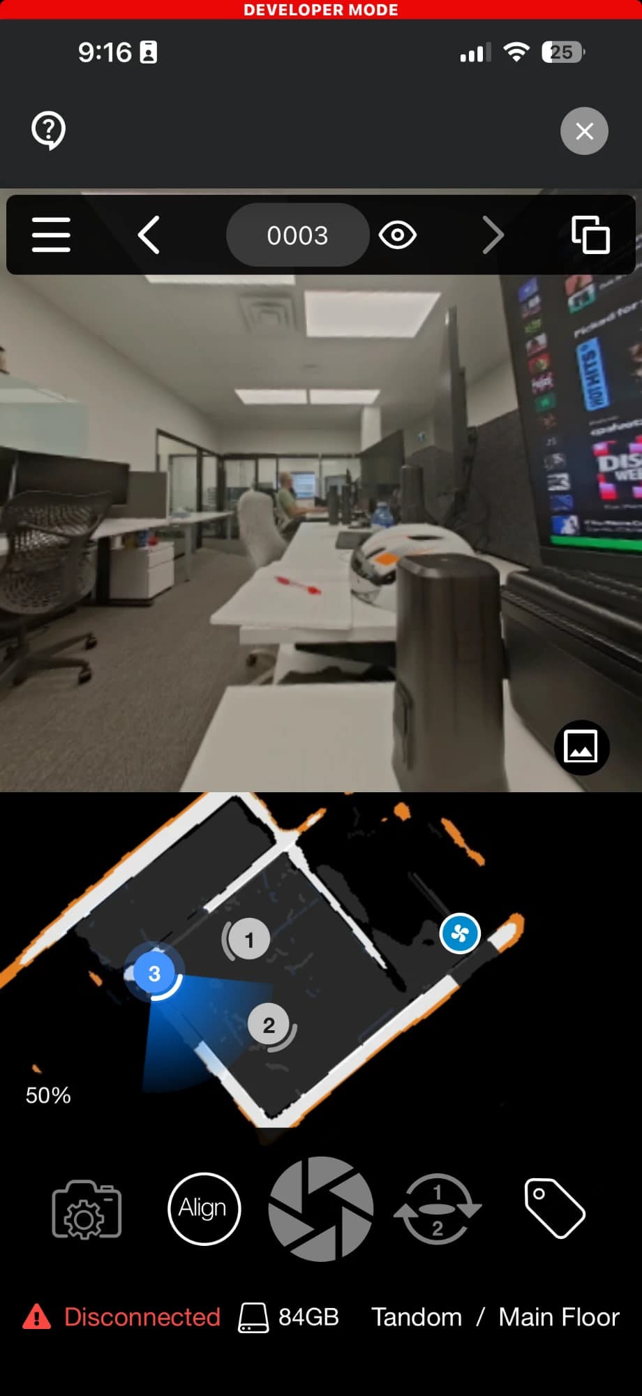
I built the cone of perception on the 2D map, the numbered scan markers and jumping between them, and tags during capture.
Cameras
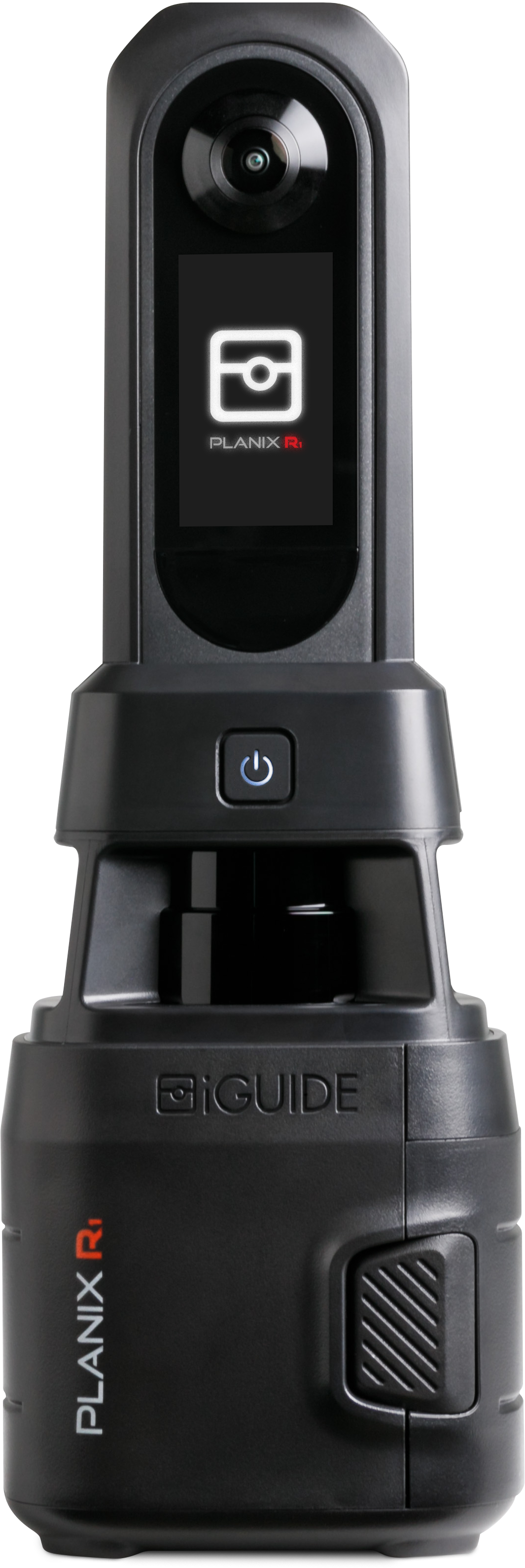
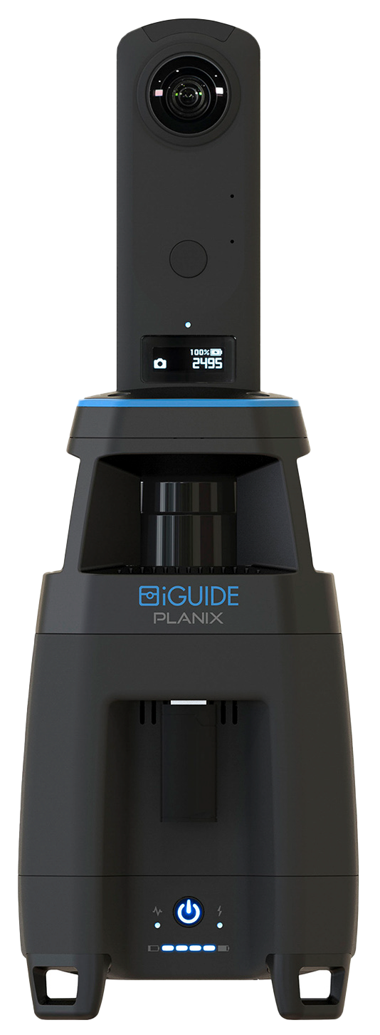
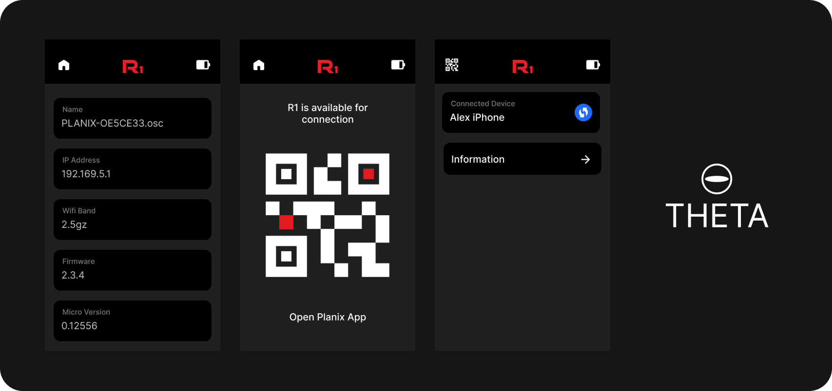
Three cameras, one app
The app drives the PLANIX R1 and PLANIX Pro. I also worked on the RICOH THETA plugin, the software that runs on the 360 camera itself.
Tooling
Consistent by construction
Templating scripts generate navigation, components, and icons, so every new screen starts consistent and development moves faster.
Role
- Built native iOS ARKit modules and integrated a proprietary spatial-measurement library for accurate interior measurements
- Created templating scripts for navigation, components, and icons to speed development and keep it consistent
- Led company-wide demos and engineering presentations for releases, features, and optimizations
- Wrote the app and brand onboarding documentation
What I built
Features
- Cone of perception on the 2D map, showing where the active scan is looking
- Scan number markers on the map and the interaction to jump between scans
- Tags during capture, including tag creation
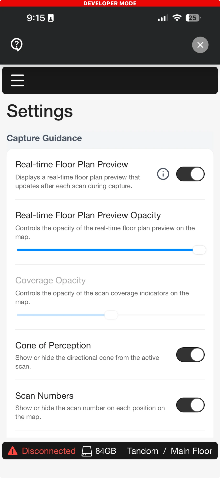
- Settings, including the capture guidance controls
- Authentication, iOS mobile capture, Firebase remote config, Sentry and Heap analytics
Modernization
- Android edge-to-edge
- Migrated state management to Redux
- Brought the navigation hierarchy onto React Navigation standards
LiDAR capture
Cameras
Camera UI redesign
I redesigned the camera screens: the navigation, the data shown during capture, and the capture features. This is a proposal I drew and shared with the team and our designer, not the shipping UI.
Mobile redesign
When I join a company I learn the product, then redraw it as a way to simplify what I see and get my thinking out early, before I know the codebase well enough to be told what is hard. Nobody asked for it. The current iGUIDE PLANIX app is on the App Store and Google Play; screenshots of it are below so the two can be compared.
The app today
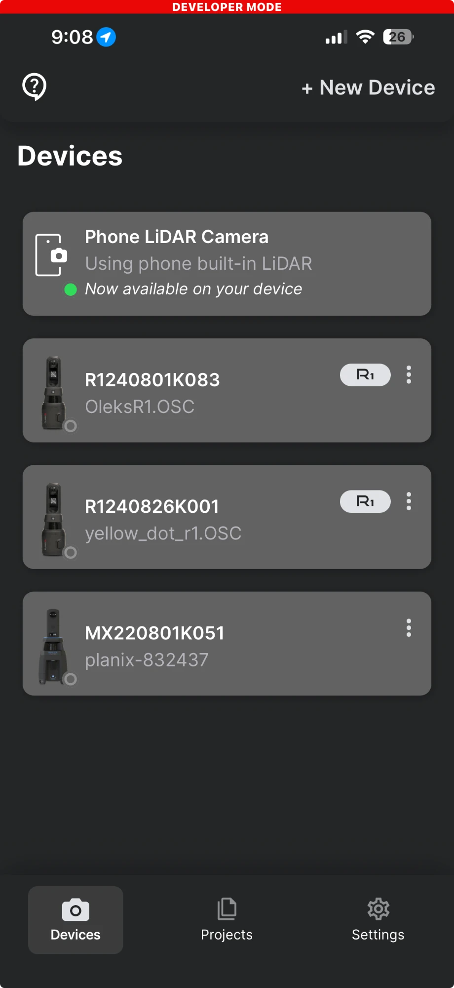
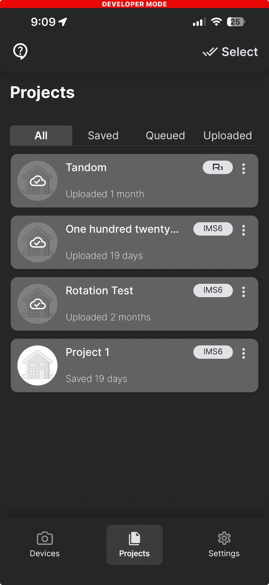
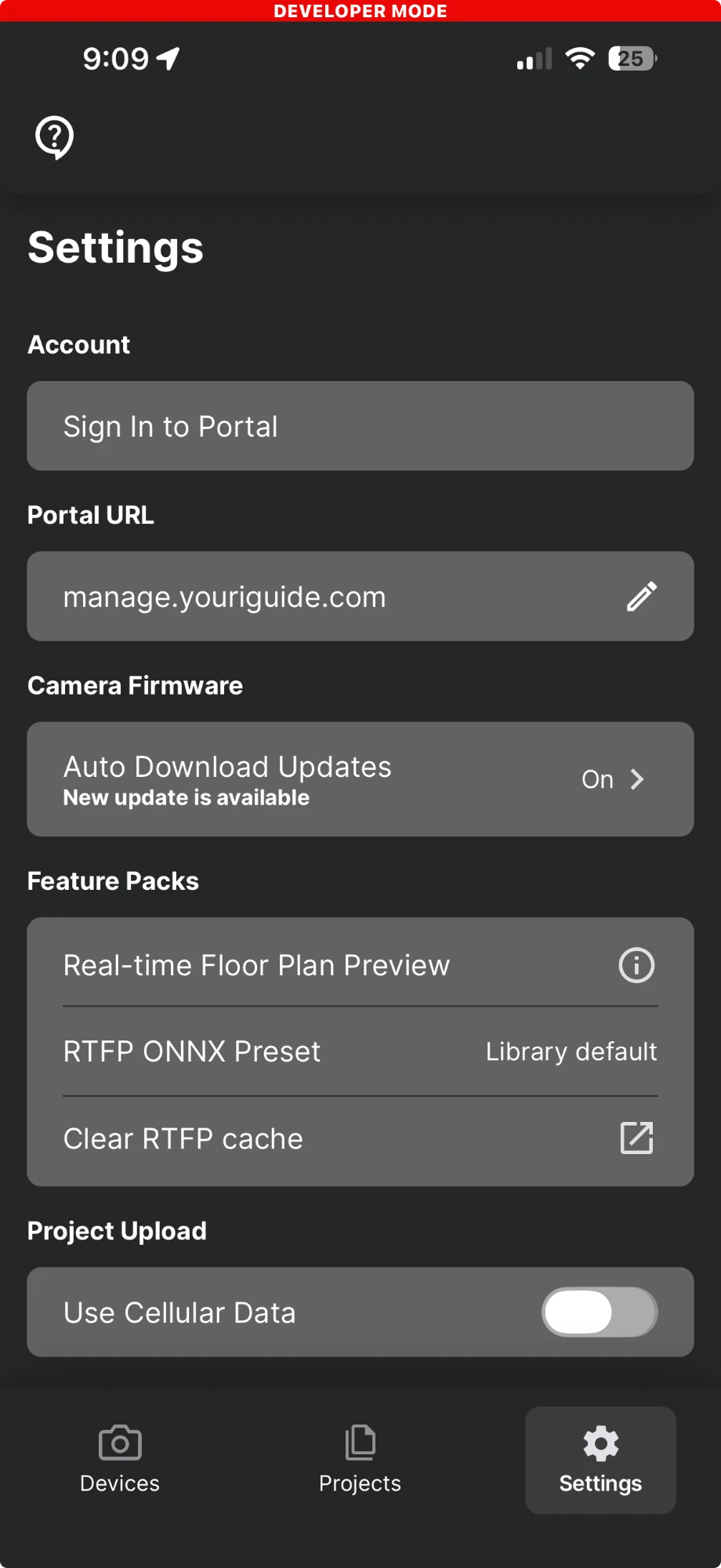
Screenshots of the shipping app, taken on my phone at the time of writing. Several of these features are mine: the cone of perception on the 2D map, the numbered scan markers and the interaction around them, tags and tag creation during capture, and the settings page.
My redesign
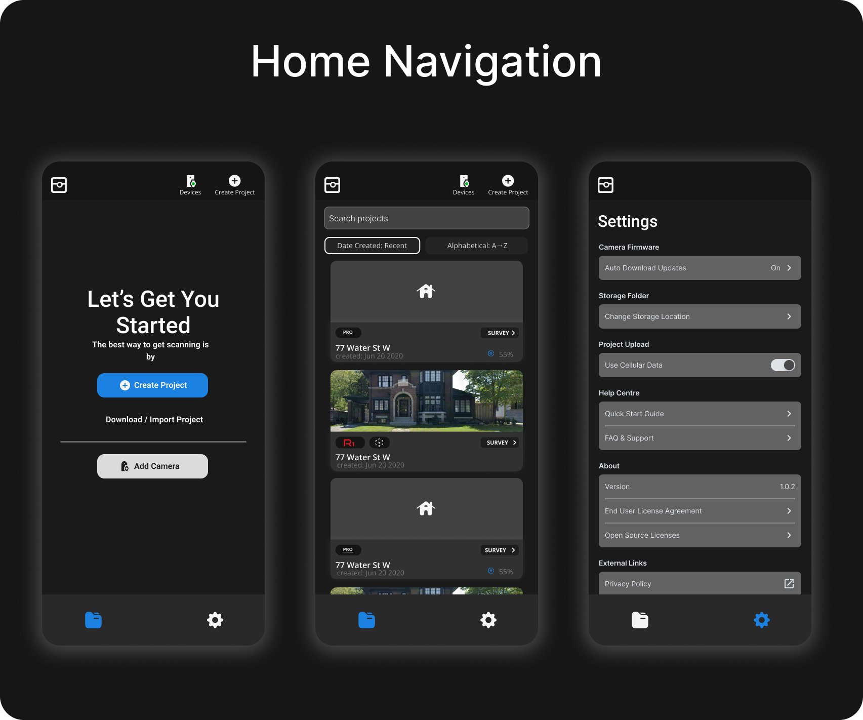
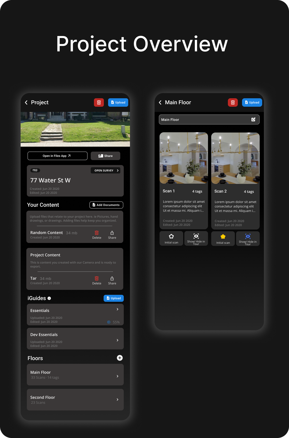
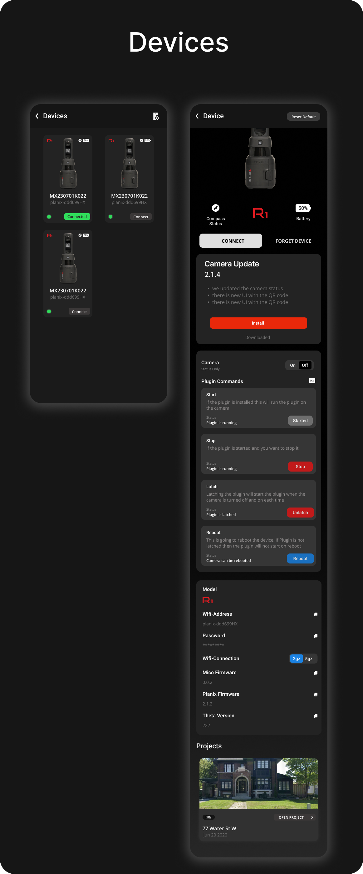
Same product, redrawn as a first pass. I started from the current design to understand the user story and where the experience had room to improve, then worked to simplify and target it. The navigation, project list, and device flows below are proposals, not finished work.

Tech stack
Mobile
- React Native
- TypeScript
- Redux
- React Navigation
Native
- Swift
- ARKit
- Kotlin
- C++
Services
- Go
- Firebase
- Sentry
- Heap